Park Authority to manage the Annandale Greenway trails in parks

Now that the Annandale Greenway has been included in the ActiveFairfax Transportation Plan, the next steps involve putting up signage along the four-mile trail.
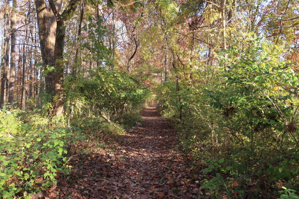
The Annandale Greenway runs between Annandale Community Park and Green Spring Gardens. It encompasses existing trails in Mason District Park, the future Annandale Civic Space, Manassas Gap Park, and the Hidden Oaks Nature Center.

ActiveFairfax incorporates Fairfax County’s Bicycle Master Plan and the Countywide Trails Plan with the goal of supporting “self-propelled” travel, such as walking, hiking, and biking.
Having the Annandale Greenway included in the ActiveFairfax plan means it is eligible for county money as funds become available.
The Park Authority has agreed to manage the parts of the Greenway within existing parks.
Meanwhile, members of the Greenway Alliance, a group of volunteers, are planning to raise money privately to pay for signs with the Greenway logo along sections of the trail in Park Authority property, says James Albright, one of the founders of the alliance.
Related story: The Annandale Greenway gets a green light
The group is currently working on a new map of the Greenway, measuring the trails, and determining where the signs should go.
The Park Authority will install the posts for the signs. The Park Authority is also figuring out what to do about a small overgrown section of the route between the end of the trail in Manassas Gap Park and Medford Drive.
The alliance would also like to install kiosks with information about the Greenway at Green Spring Gardens and the future Annandale Civic Space.
Parts of the Greenway include sidewalks along Columbia Pike, Evergreen Lane, Alpine Drive, and other roads. It also crosses several roads, at Hummer Road, Medford Drive, Columbia Pike, Braddock Road, and others.
Incorporating those paved sections of the Greenway require approval by the Virginia Department of Transportation. That would take longer to implement.


A frustratingly slow process, but a much needed improvement to the community. Thank you Greenway Alliance for supporting this important project.
Ffx county staff haven’t figured out that a safe network of greenways and bike paths would reduce traffic congestion, improve property value and generate more tax revenue?? Will the county do the simple road work that would make this an actual greenway with protected lanes and road crossings? Perhaps BoS would cancel their pay raise to fund this? Their current legacy is destruction of Lake Accotink — maybe they’d prefer their legacy to be a new Greenway?
This is awesome and important work. So supportive!
I would love it if this project could one day also be expanded to connect up to Holmes Run Park (or at least put in a protected crossing over Columbia Pike to then allow cyclists coming from the Greenway to pick their own way over neighborhood streets).
I’d also be thrilled to see (1) a safe pedestrian or cyclist connection to the W&OD (maybe this happens already when you merge the Greenway with the broader county master bike plan?) and (2) a safe way to walk or bike to any of the three near-ish metro stations (East Falls Church, West Falls Church, or even Merrifield).
I think for the county as a whole, safe passage over and under freeways and busy roadways will be key to the success of the “safe streets” project.