
New county tool tracks development projects
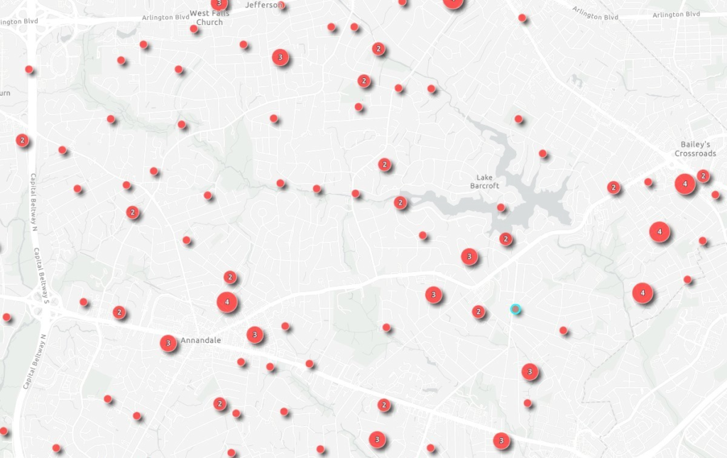
Fairfax County’s Land Development Services recently launched a new tool, Development Tracker, that lets residents view development activities on a map.
If you click on a number on the map, a window pops up showing whether there’s a residential or commercial building permit, construction project, zoning application, Comprehensive Plan amendment, site plan, or certificate of occupancy connected with that property.
Clicking on “PLUS Record” takes you to the Planning and Land Use System, where you can explore permits, site plans, and other documents.
For example, the Development Tracker shows that a commercial addition/alteration permit was issued in July for the renovation of the Minnie Peyton Community Center in Bailey’s Crossroads, a site plan revision was submitted in May for the Starwood Plaza 500 data center, and a building permit was issued a year ago for a security vestibule at Poe Middle School.
The Development Tracker shows many residential projects in Mason District, but not the renovation of a house on our street. It also doesn’t show some of the projects we are following, such as the proposed substation on Edsall Road, the rezoning for a housing development on Gallows Road, and the We Are Casa Welcome Center on Little River Turnpike in Lincolnia.