A snowy winter predicted
We could be headed for a snowier winter than usual, along with lower-than-normal temperatures, the National Weather Service predicts.
That’s due to El Niño’s effect on the jet stream, said Brian Lasorsa, lead meteorologist for the NWS, in a presentation hosted by the Fairfax County Department of Emergency Management and Security.
We’re now in anEl Niño pattern, meaning sea surface temperatures in the Pacific Ocean around the equator are above normal, Lasorsa said. That causes the jet stream to be more active across the southern United States.
The jet stream is expected to carry more moisture across the country, and potentially up the coast to the Mid-Atlantic states this winter, resulting in above-normal precipitation and potentially a big snowstorm in our area, he said.
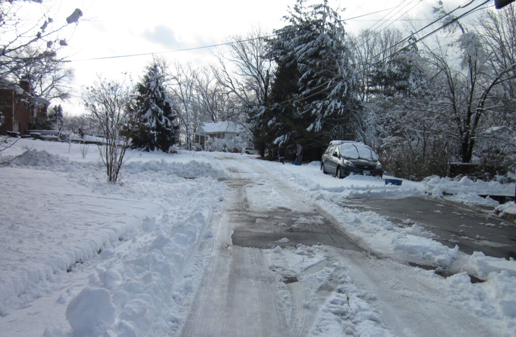
Last year, the D.C. region had an average of just 0.4 inches of snow for the entire winter as measured at Dulles International Airport. This winter, we’ve already surpassed that, with 0.5 inches in December.
The region averages 13.7 inches of snow per year, including 1.7 inches on average in December, 4.9 in January, 5.0 in February, and 2.0 inches in March.
Some years have seen huge amounts of snow in the D.C. region. The heaviest snowfall, about 58 inches, blanketed the region in 2008-09. Snowfalls greater than 30 inches were recorded in 1963-64, 1978-79, 1987-88, and 2014-15.
According to the NWS, the region is leaning toward above-normal temperatures for January and February. That doesn’t mean it’s going to be warmer all winter, just that the temperatures will be warmer on average, Lasorsa said.
For the week of Dec. 23- Jan. 5, the NWS predicts it will be a little bit colder or at least closer to normal.
Last winter was the third warmest on record for the region, Lasorsa said. Average high and low temperatures based on data from Reagan National Airport are 45o and 30o in January, 48o and 32o in February, and 57o and 39o in March.
The NWS issues a winter weather advisory if it expects a blizzard or ice storm with more than 5 inches of snow within the next 12 to 24 hours, Lasorsa said.
A winter storm watch is issued if there is a possibility of more than 5 inches of snow within one to three days. According to Lasorsa, that means residents should adjust their schedule and make sure their gas tank is full.
The NWS issues several levels of winter storm threats, with the highest level likely to cause significant travel delays and closures. Even small snowfalls of an inch or less can lead to traffic disasters and gridlock if they happen during rush hour and there are sub-freezing road temperatures.
Wetter snow is more likely to cause power outages as it is heavier and collects on trees and power lines.
Lasorsa urges residents to watch out for snow squalls. Like a summer thunderstorm, snow squalls bring severe weather quickly to a small area. This can be dangerous for drivers on an interstate when it’s clear one minute and all of a sudden visibility is zero and the road is covered in ice and snow.
Lasorsa encourages residents to sign up for cell phone alerts on weather emergencies. The Department of Emergency Services also has tips and resources for dealing with snowstorms.
That depends on which part of the Country that your in. Right now in Oklahoma they mentioned that in September, the meteorologist said that too. So far, Oklahoma City has only seen a few cold fronts.
They had temperatures up into the mid 70’s in to the middle of this October. It didn’t even drop ’till mid November. They finally got a good Cold Front that finally dropped their temperatures down that made it feel like the time of year it’s supposed to be. People here have been sick for the past 3 months ‘Cause there hasn’t been cold enough weather long enough to kill the pollen mold and ragweed.